Saturday, August 7, 2021

Hello West Point Utah High School -- Coming Soon?


                            The view looking southeast into the larger, 50.76 acre school property.

                                        Another view of the future high school site.

A PREDICTION----

SOMEWHERE  in the near future, welcome to the new West Point Utah High School.

The next new high school in Davis County (No. 10) will may well be in West Point.

The Davis School District owns a total of 84.16 acres in the extreme northwest corner of West Point. That's near the intersection of 4500 West and 1800 North.

In fact, the school district owns land on three of the four corners there, with only the northwest corner not belonging to their property cluster there.

Why would the District buy this much land, unless it has big plans there? And, there's way too much land for just an elementary and/or junior high school there.

                        A makeshift map showing acreage that the Davis School District owns,

Eighty-four acres is more than enough for a new high school and then some. An elementary school and a junior high could also be built there, along with the high school. (Elementary schools usually require 11-13 acres of land and junior highs a little more than that.)

How much land is needed for a new high school? Layton High sits on 36 acres; Northridge High boasts 48 acres and Farmington High has about 43 acres. So, the West Point cluster has about an extra 36 acres.


                                        Another view of the 50-plus acre school parcel.


Davis County started buying this land back in about 2012. The Syracuse Islander newspaper reported in 2013 that the Davis District had purchased 30 acres there, in West Point, at that time -- and desired at least another 20 acres. So, it has now surpassed that by some 34 acres.

Ironically, just to the west, as the 1800 North Street (Utah Highway 37) curves northward, that area has been nicknamed "Pig Corner" for more than 70 years. That's because a fragrant pig farm used to exist on the corner.


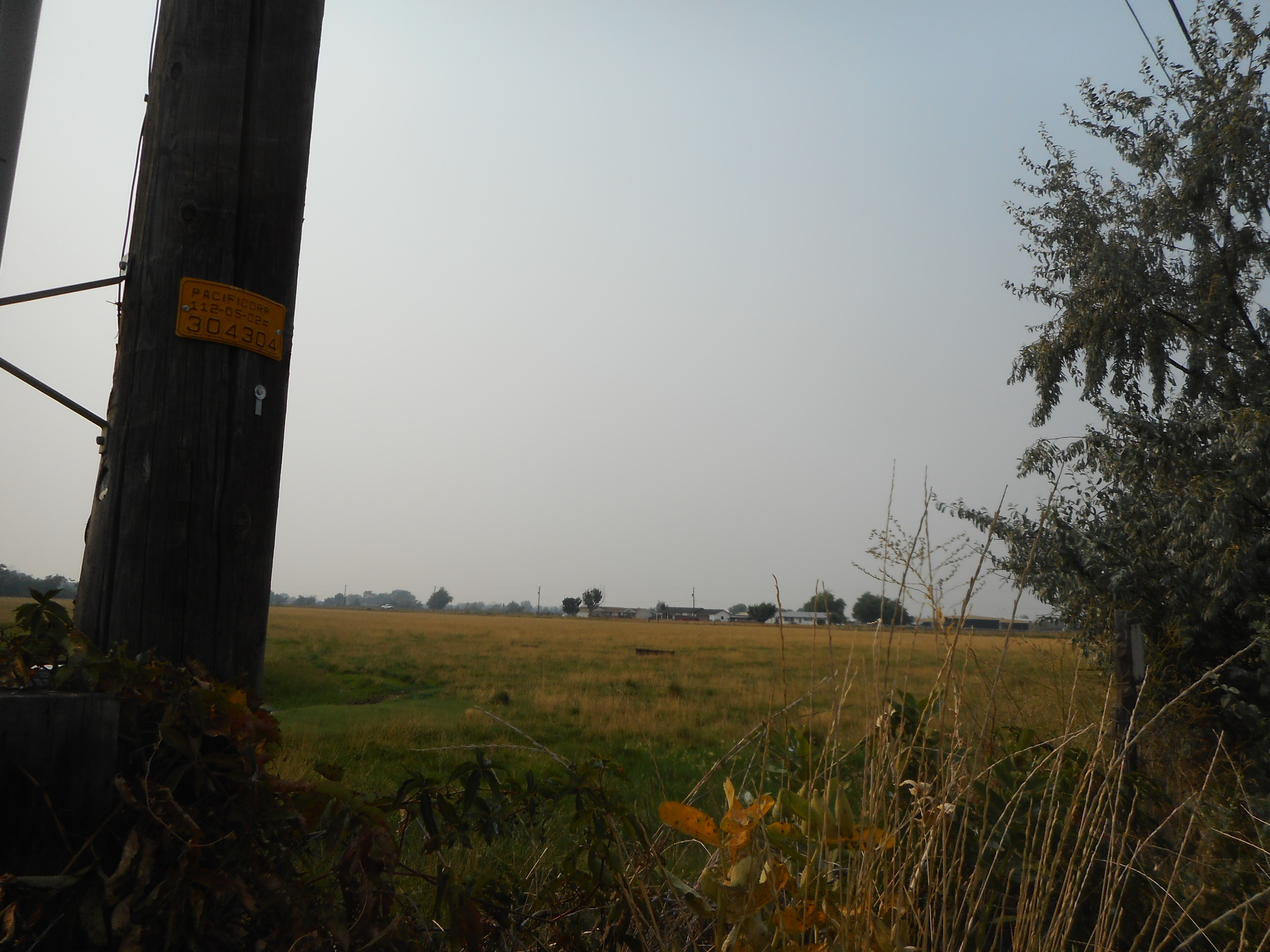
       The southeast field that could easily house a new junior high, or elementary school.

  The northeast field that could easily house a new junior high, or elementary school.


What would the mascot be for West Point High?  Cadets is a very suitable choice. That's the West Point Naval Academy's alternate nickname, with "Black Knights" being their primary mascot.

Since the three tracts of land straddle the 4500 W-1800 N intersection, some parking and/or the school's stadium may have to be built across the street. The main school buildings would be on the 50.76 acre site, the largest of the three sections, on the southwest corner of the intersection.


                                                      Still another 50-acre property view.

1800 North is a main corridor in northern Davis County and will also likely have its own I-15 freeway exit and entrances one day.

4500 West Street is main north-south corridor, going from Antelope Drive north.

One shortcoming is that the 4500 West intersection at 1800 North doesn't squarely line up with its continuation northward, as there is a slight deviation required to the west. That means that a traffic signal for the intersection cannot be a standard one, unless the intersection is widened to create a more direct path.

Clinton City missed out on an LDS Temple, as neighboring Syracuse landed that asset. And, it looks as if Clinton will also miss out on its own high school -- and likely most Clinton residents are probably going to eventually attend this new high school.

The view looking northward from 5000 West Street. The Davis School District's 50.76 acre parcel of land is on the right (east) side of this narrow roadway.

NOTE: This article is based on the author's opinions, taken from factual property ownership searches. The author is not affiliated with the Davis School District and does not speak for the District.


Thursday, January 14, 2021

The legacy of the Grand Canyon’s Roaring Springs – Water salvation from a giant cave


Roaring Springs, as it appears from the North Kaibab Trail, 4.7 miles from the North Rim.


ROARING SPRINGS is the reliable source of water that keeps visitors quenched at both the North and South Rims of the Grand Canyon.

Today, if many people think of a cave in the Grand Canyon, they may actually envision Grand Canyon Caverns, located along High 66, southwest of today’s Grand Canyon village.

However, “Cave of vast size is found in Grand Canyon” was an April 11, 1928 headline in the Tucson Citizen newspaper.

This cave was actually Roaring Springs.

Three workmen employed on building a water pumping station for the new lodge being built atop the North Rim went inside the cave for an estimated two miles. They only turned back, because a boat was needed to go deeper inside the mountain.

“Roaring Springs emerges from openings in the cliffs and the water cascades down in falls,” the story stated.


    Driving south on the Kaibab Plateau, toward the North Rim of the Grand Canyon  in mid-May. Is there an actual huge lake of water beneath this plateau? Some believe there is.

One of the apertures is large enough to permit a man access and Bill Denson of South Dakota went inside with a small flashlight. Seeing vast spaces and tunnels inside, he returned outside to tell co-workers, Mack Jensen of Toquerville, Utah and Paul Swain of Salt Lake City, what he had seen. The three secured gasoline lanterns and extra fuel bottles and went exploring inside for four hours.

“There is a regular labyrinth of tunnels in there,” Jackson said. “And, we didn’t try to explore all of them.”

They found four connecting tunnels.


                            A sign highlighting the importance of Roaring Springs on the North Rim.


“At the place where these four tunnels come together, there’s a big river coming down one of them, dividing among the other three. These divide again and again, so that all the waterfalls you see in the canyon that we call Roaring Springs are just the ends of smaller tunnels. The one big creek supplies them all,” Jackson said.

One place, the walked along the river on a narrow ledge and estimated the water below to be at least 20 feet deep.

Finally, two miles in, they came to a large room filled entirely by the river.

“As far as we could see, the cave and the river got bigger and bigger. The river is too deep to wade and too cold to swim, or we would have gone further,” he said. “The inside of the cave is very beautiful. It is filled with stalactytes and stalagmites …”


                             A sign along the North Kaibab Trail, just above Roaring Springs.

The story concluded that since the caverns of Roaring Springs are so vital a natural resource to the area, that the National Park Service may prohibit future exploration inside.

It appears that is the case, about a century later.

The story also said some believe that there is a huge underground lake beneath the Kaibab Plateau and that is what fuels Roaring Springs.

There are no streams on the Kaibab Plateau, north of the Grand Canyon, and none on the South Rim either. 

That’s because the limestone rock below and many sink holes absorb almost all the surface water and take it underground.

Some tests in the 21st Century have shown that as little as six days is all that was required for some rainwater on the Kaibab Plateau to exit through Roaring Springs.

A section of the trans-canyon pipeline from Roaring Springs, as it appears above Indian Gardens, along the Bright Angel Trail. Note how vulnerable the pipeline is.


The 12 or so miles of pipeline from Roaring Springs to Phantom Ranch suffer frequent leaks and breaks, whereas the pipeline across the Colorado River and up the South Rim are much more stable.

Roaring Springs supplies a vast majority of the water for both the North and South Rims.

Even as recent as the early fall of 2022 there was a brief stint of rationing water on the South Rim, when some breaks in the trans-canyon pipeline diminished the outgoing water supply.