Chicago's Union Station.
A strong
desire to see more countryside than one can see out of an airplane window prompted a
California Zephyr train ride, in coach seating, from Chicago to Salt Lake City
on October 3-5, 2024.
While my wife
flew home from Chicago, I went solo, on the train. This is the story of my
trip….
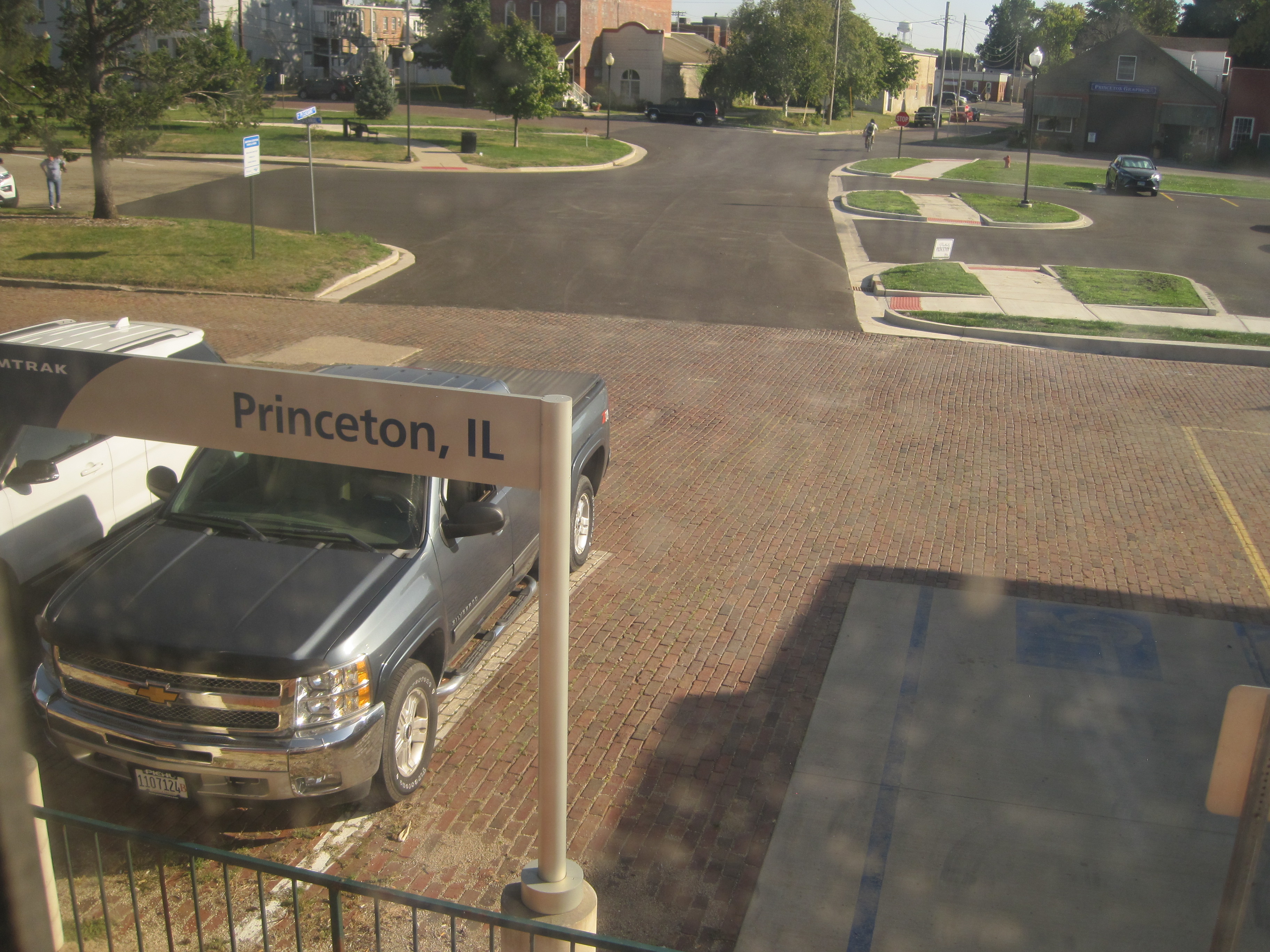
The Chicago
Train Station is simply huge. Amtrak took just a fraction of it. And, there
were all kinds of food options available at the station, including McDonald’s
and Chick-fil-A. It took some wandering, but I finally found the Amtrak
section. (I had months earlier paid $167 for my ride, which included $18
insurance extra, to get a complete refund, should I cancel my ride.)
Surprisingly,
there were zero security checks. No one even glanced at my bags. I was given a
piece of cardboard with my coach seat number on it and I boarded. (I chose
riding coach, because the “roomettes” are way too small and the actual rooms
are way overpriced.) I lucked out and not only got a window seat, it was on the
second floor, mid-train car and on the left side of the train (best overall
view for the trip).
I quickly
realized that all the YouTube videos I watched of this ride really didn’t contain enough pertinent information…. I was one my own.
The train
left on time – 2 p.m. and a woman sitting next to me was only going to western
Illinois and used the Zephyr as a commuter train, not a scenic train. Once she
left, I was sitting alone until Denver.
California Zephyr as it leaves Chicago.
One of the
most important things to learn is how to safely and efficiently walk down the
aisles as the train is moving. Unless you are really short, grabbing onto the
ledge of the upper compartment hold works best. That way, you keep your
balance, but do not disturb passengers in the seats below.
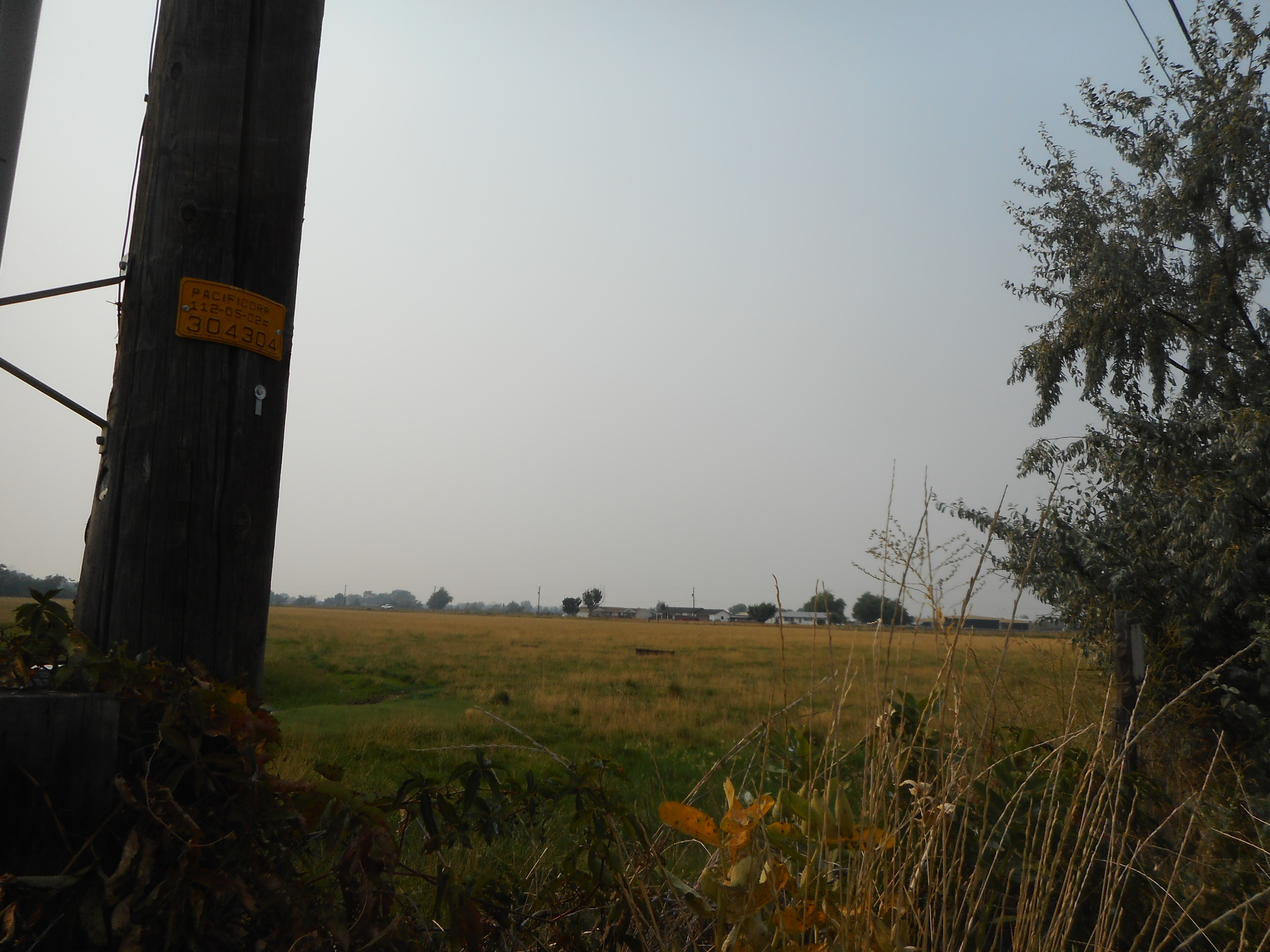
Wide open farm fields of Western Illinois.
It is also
important early on know where the rest rooms are, plus the observation room,
café and dining car. (Being frugal, I brought many snacks, drinks and
sandwiches, so I never spent a penny on the train.) As a passenger nearby said,
if you ate every meal through the train’s dining, you would pay $85 a day and
at least compared to a coach train face, would surpass that total cost by about
your fourth meal. (Breakfast was $20; Lunch $25 and dinner was $40.)
Amtrak crossing the Mississippi River.
I really
enjoyed watching all the little Illinois and Iowa towns go by from my window
view. When we crossed the Mississippi River, near Burlington, Iowa, only I
seemed to even notice that. I didn’t go to the observation car until near the
end of my ride, because, yes, it was crowded and my window seat already had
good views.
The leg room
was slightly bigger than what I had on my first-class airplane ride to Chicago
and the seats reclined back a long ways. There was also a fold-out tray for
food or a computer, an electrical plug nearby and room under my seat for a
carry on bag and my other bag was above my seat in the storage area.
All
passengers around me were rather quiet and most kept to themselves. The rest
rooms were about the size of those on an airplane, but one was larger for the
handicapped and another one was larger because it included extra space to
change one’s clothes. There was no shower – just a sink, mirror and toilet.
The first
conductor was firm about no passenger changing their assigned seats and one
woman got kicked out of her seat three times by him, as at night she sought a
seat by herself. (The later conductors just cared about knowing where one moves
to, as a tag above your seat states where your final destination is and they
simply didn’t want anyone to miss their stop.)
It got dark
outside just before the train hit Omaha, Nebraska. (The interior train car lights get turned down
by 11 p.m., until about 7 a.m., during the quiet period).
I should
have used earplugs as the train whistles kept blaring all night going through numerous small crossings in Nebraska. It took over an hour before I dozed off. When I
woke up about 6:30 a.m., we were in Colorado. I shaved and refreshed in the
bathroom and was soon back in my seat looking at N.E. Colorado.
The train
had to do some fancy switching and reversing to get into the Denver Train
station, but it arrived about 10 minutes ahead of schedule.
Denver's Union Station.
I went in
the Denver Union Station to use a real rest room and stretch. I was gone just
20 minutes, but there was an unannounced “mechanical problem” and we sat an
extra 70 minutes before we moved again. (We were now an hour behind schedule
and looking at what others have said about this ride, Amtrak is almost never on
time, so plan on that scenario…)
Three women
from Salt Lake had taken the Amtrak to Denver two days earlier and got on at
Denver. One of them sat next to me, but the trio spent ample time in the dining
and observation cars, so I had plenty of solitude…
All my
pre-made peanut butter sandwiches tasted great, but some donuts and pop tarts I have brought
were smashed into small pieces.
Now came the
best part of the ride. Looping through the Denver foothills to climb through
the Rocky Mountains offered the best scenery so far. The train had to climb almost 4,000 feet to
enter the Moffat Tunnel, a 6.2-mile-long conduit through the mountain tops, to
Winter Park. Surprisingly, there were a dozen or more small tunnels to go
through to even reach the Moffat Tunnel.
The fall
color scenery was excellent and the train was nearly full, because of that
reason.
I was amazed
how much loose rock was on the mountainside above the railroad tracks and yet
we were sailing along smoothly. Also, every time I thought we were above paved
roads on the Colorado mountainside, I’d spot a different, new road, that cut
through the Rockies.
The Moffat
Tunnel ride seemed quick and Winter Park, 9,000-feet above sea level, was
reached. For the rest of the trip, I was amazed at how many passengers got
on—and—off at little towns in Colorado. The train soon followed the Colorado
River all the way to Utah. About half of that was in an area north of
Interstate 70, where there are rarely paved roads nearby. A lot of river rafters
were spotted and the fall colors were at their peak. When the train left
Glenwood Springs, it was full to capacity again …
Utah's La Sal Mountains (east of Moab), as seen from the Amtrak observation car.
When the
train reached Utah, it was only about half full again and I sat in the
observation car for the rest of the trip. The train was about 90 minutes behind
schedule at Price, Utah. By then, it was pitch dark outside and there was
little one could see. The train stopped almost a half-hour again partway
through Spanish Fork Canyon, for some unknown reason. Now, we were two hours
behind schedule.
When the
train reached the Provo, Utah station, I was alone in the observation car and
got a kick out of seeing the Wasatch Front zoom by. It was supposed to take 72
minutes from Provo to Salt Lake, but the train moved faster than any previous
point on the trip and was going 79 miles an hour all the way – and did the trip
in about 58 minutes.
The train
was supposed to reach Salt Lake City at 11:15 p.m., but it was 1 a.m., when it
finally arrived. A line of three dozen passengers were waiting there to get on
the train to the Nevada-California segment.
Mission
accomplished, I saw scenery I wanted to see.
Would I do the ride again?
Probably only if my wife or another family member or friend was with me. It was
inexpensive and a rather unique ride.
NOTE: If I had booked a "roomette," the trip cost would have been $500 and a room on the train would have been about $1,000, as compared to $149 in coach (without insurance).